By using open datasets and sharing them with the general public, Google and TriMet have set the standard to tackle the problem of online transit trip planning.1 The GTFS (General Transit Feed Specification)/GTFS-RT (General Transit Feed Specification Real Time) data format is a standard that enables sharing public transit information about schedules, routes, stops and messages.
What is GTFS?
GTFS data have two types of data: static and dynamic. Static data contains basic information about the transport network such as stops, routes, schedules or fares. Dynamic data contains real-time information on the status of the service such as delays, cancellations, occupancy levels and alerts. Dynamic data is often referred to as GTFS-RT (RT standing for “Real Time”).
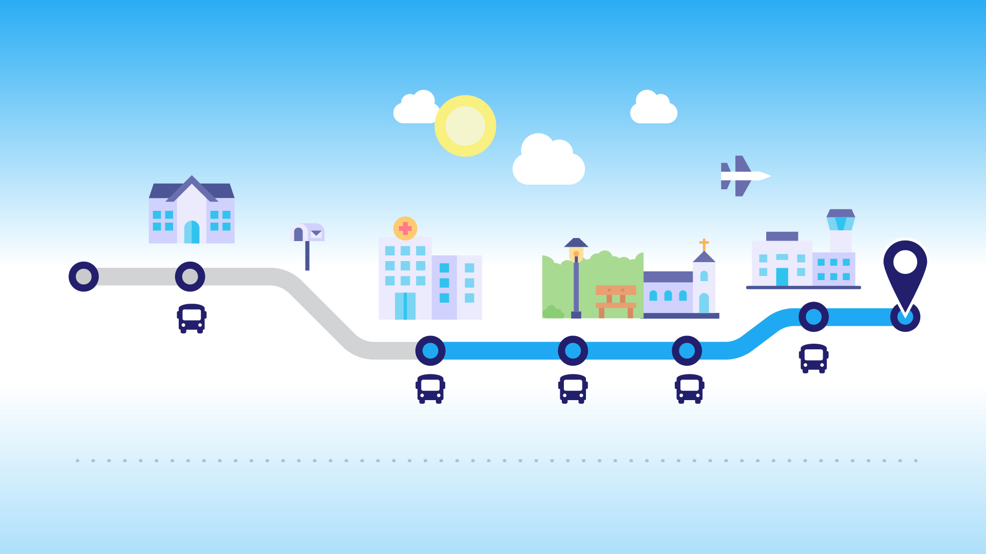
To illustrate how GTFS data is used, let us take the example of a bus stop. Static data provides the name and the number of the stop as well as the connected routes and their schedules. Dynamic data will be used to inform users if the bus is arriving early or late, if the route was canceled or moved, or if there is a service alert. Furthermore, the schedule determines the active days of each service and manages exceptions such as statutory holidays. It is also used to plan routes by intervals instead of relying on fixed schedules, provides information about accessibility at every stop, and whether it is possible or not to get on or off at specific stops only. GTFS can also share information about fares or the exact routes on the same map used by the buses.
Passenger information systems use this architecture to synchronize with static and dynamic data. This tested architecture interfaces with databases processing millions of changes daily. The content update processes have been implemented to obtain updated data in real time, which means data can be refreshed as often as every second. The entire process is done in the background and in a completely transparent manner for users.
Why use GTFS?
GTFS is used by over 10,000 transit agencies in over 100 countries.2 It stands out from other public transportation data formats by being specifically designed to meet practical communication needs to share information with passengers. 3 This data format is provided by public service organizations, and data must follow the standards set out by GTFS, a not-for-profit organization. This data is used to share information with users about available services and their status in real time. It is also used in corporate environments, as companies can use their digital displays to share public transportation services near their workplace and facilitate their employees’ commute.
Importance of real-time data
Real-time data helps vastly improve the experience of public transport users, as these are able to plan their routes with updated schedules and occupancy s. Real-time data comprises information about the position, speed, delays, cancellations or changes to vehicles (buses, trains, subway), and are usually updated every few seconds or minutes, depending on service frequency.
The GTFS has revolutionized transit trip planning by using open datasets. Static and dynamic data provide additional information about schedules, routes, stops as well as the status in real time of public transit services. This data is essential for users, and is also used in the corporate sector to facilitate the workers’ mobility through digital displays. Adding real-time data improves the passenger experience significantly by ensuring routes can be planned with continually updated data for schedules and vehicle capacities.
1 General Transit Feed Specification, "Background" , [On line]. https://gtfs.org/background/ (Page viewed on December 1st, 2023)
2 Google (2022), "GTFS Realtime Overview", [On line]. https://developers.google.com/transit/gtfs-realtime (Page viewed on December 1st, 2023).
3 General Transit Feed Specification, "Background", [On line]. https://gtfs.org/background/ (Page viewed on December 1st, 2023)